
LASER SCANNING
A form of land surveying, laser scanning has emerged as a fast and accurate method to capture spatial details of existing buildings and structures.
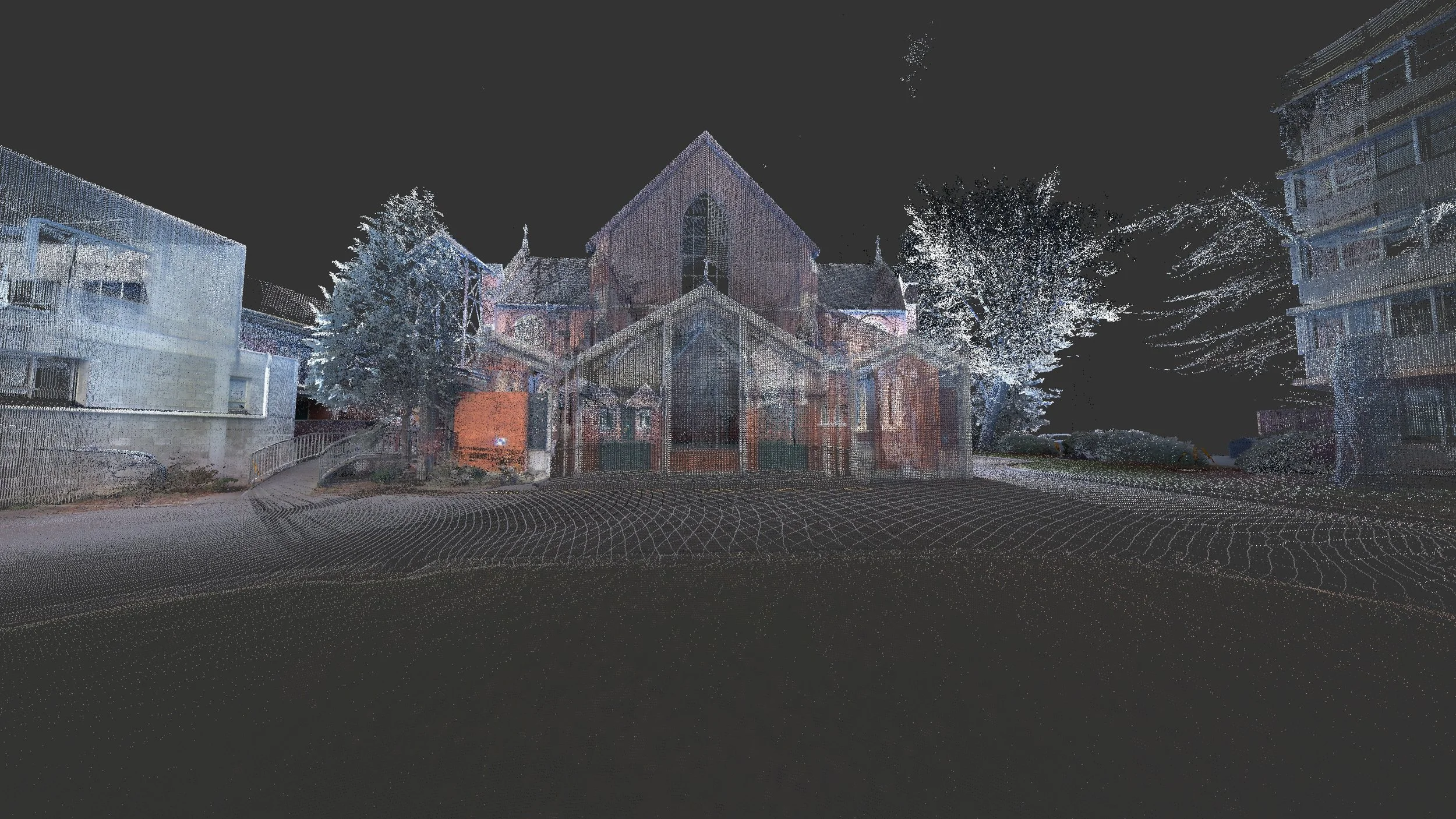

By utilising advanced high-definition laser scanners, this non-invasive technology collects precise geometric data from both exterior and interior environments.
While laser scanning might appear as plug-and-play technology available to anyone with a tripod, the fundamental principles of surveying remain pertinent in data capture of this kind. With over four decades of experience, we harness this extensive knowledge to ensure a successful project outcome.
Our approach starts by understanding our client's needs and assessing whether laser scanning is the optimal tool for the task. Our process involves a holistic understanding, recognising the significance of data redundancy. All point clouds are not equal and stand by our quality assurance process to ensure successful capture.
Back in our office, we meticulously extract data aligned with project requirements, delivering outputs compatible with software tools like Revit or ArchiCAD, streamlining design collaboration.
Laser scanning has revolutionised spatial data capture and design efficiency, offering numerous benefits for the construction industry. Its ability to expedite surveys, foster collaboration, identify potential issues, and integrate with software tools makes it an asset for professionals and their clients alike.
Our laser scanning services/tasks include: